


Jordan P-1, Scott County, Minnesota
About
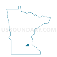
Outline

Summary
| Unique Area Identifier | 604354 |
| Name | Jordan P-1 |
| County | Scott County |
| State | Minnesota |
| Area (square miles) | 2.00 |
| Land Area (square miles) | 1.97 |
| Water Area (square miles) | 0.02 |
| % of Land Area | 98.87 |
| % of Water Area | 1.13 |
| Latitude of the Internal Point | 44.65644090 |
| Longtitude of the Internal Point | -93.63456300 |
Maps


Graphs
Select a template below for downloading or customizing gragh for Jordan P-1, Scott County, Minnesota


Neighbors
Neighoring Voting District (by Name) Neighboring Voting District on the Map
- Jordan P-2, Scott County, MN
- Sand Creek Twp. Voting District, Scott County, MN
- St. Lawrence Twp. Voting District, Scott County, MN
Top 10 Neighboring County Subdivision (by Population) Neighboring County Subdivision on the Map
- Jordan city, Scott County, MN (5,470)
- Sand Creek township, Scott County, MN (1,521)
- St. Lawrence township, Scott County, MN (483)